| The rivers dear to my old friend
Fred The Weser river go through Bremen (where Fred Kucharski was born), The mouth of Elba river is close to Amburg (right westward of Danish Peninsula), political boundaries between Germany and Poland follow for many chilometres the path of Oder river. NLON = 550, NLAT = 350, SLON = 6.00, SLAT = 49.00, DIJ = 0.020, DEMF = 2 |
|||
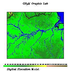
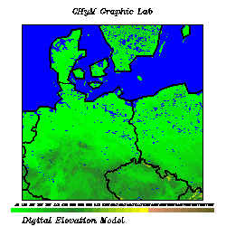 The Digital Elevation Model |
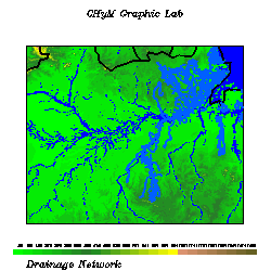
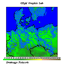 The drainage network |
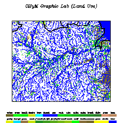
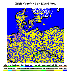 The landuse map |
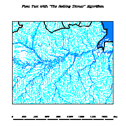
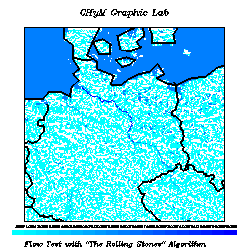 The Flow Check |
| Po and Danubio Rivers NLON = 650, NLAT = 350, SLON = 6.00, SLAT = 44.00, DIJ = 0.020, DEMF = 3 |
|||
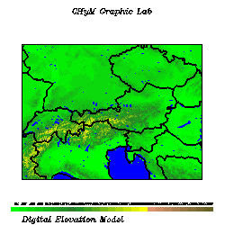 The Digital Elevation Model |
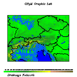 The drainage network |
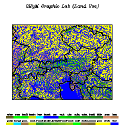 The landuse map |
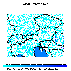 The Flow Check |
| Main Rivers of Indian Peninsula The Indo river mouth is located in the North West part of the Domain. In South East it can be recognized the mouth of the Krisna river, in the Central Est part the mouth of Godaveri river. NLON = 450, NLAT = 450, SLON = 72.50, SLAT = 13.00, DIJ = 0.025, DEMF = 2 |
|||
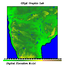 The Digital Elevation Model |
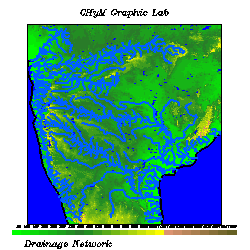 The drainage network |
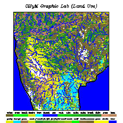 The landuse map |
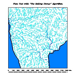 The Flow Check |
| The Holy River The imposing delta of Gange river, and souther Mahanadi river. NLON = 550, NLAT = 350, SLON = 79.50, SLAT = 19.50, DIJ = 0.025, DEMF = 2 |
|||
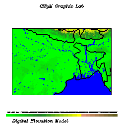 The Digital Elevation Model |
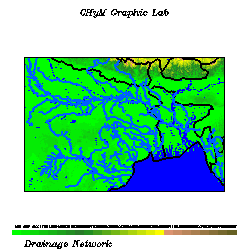 The drainage network |
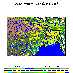 The landuse map |
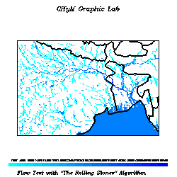 The Flow Check |
| Le rives de France It can be recognized the basins of Senne, Loire, Gironde and Rodano. NLON = 500, NLAT = 400, SLON = -2.50, SLAT = 42.10, DIJ = 0.020, DEMF =3 |
|||
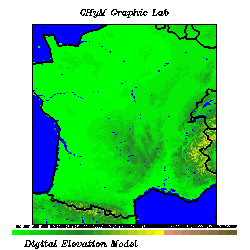 The Digital Elevation Model |
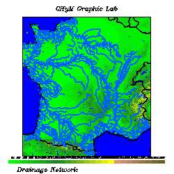 The drainage network |
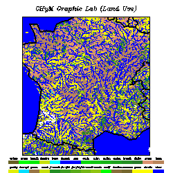 The landuse map |
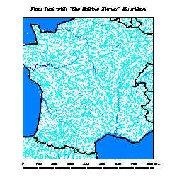 The Flow Check |
| The rivers of Iberic Peninsula It can be recognized the basins of Guadiana, Ebro, Tago and Guadalquivir. NLON = 550, NLAT = 400, SLON = -9.50, SLAT = 36.00, DIJ = 0.020, DEMF = 2 |
|||
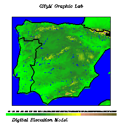 The Digital Elevation Model |
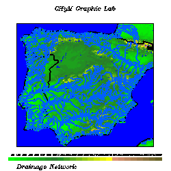 The drainage network |
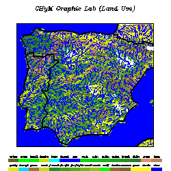 The landuse map |
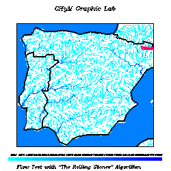 The Flow Check |
| The rivers of Scandinavian Peninsula The drainage network of Scandinavian Peninsula is characterized by many small basins, for example the Gota, the Dalalveri and Stroms Vattudal. NLON = 750, NLAT = 400, SLON = 4.50, SLAT = 57.90, DIJ = 0.020, DEMF =2 |
|||
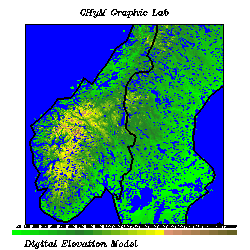 The Digital Elevation Model |
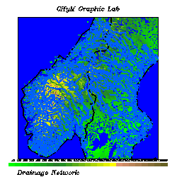 The drainage network |
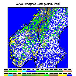 The landuse map |
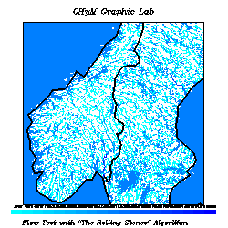 The Flow Check |
| The historical delta of Nilo River The definition of the catchements in this case is not perfect because of low resolution. In any case this is the Nilo basin. NLON = 450, NLAT = 700, SLON = 25.00, SLAT = 20.00, DIJ = 0.020, DEMF =2 |
|||
 The Digital Elevation Model |
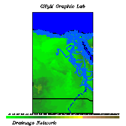 The drainage network |
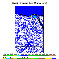 The landuse map |
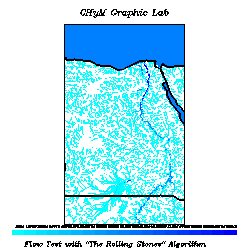 The Flow Check |
| "Swing low Alabama, You got spare change,
you got to feel strange" (Neil Young) Confluence between Alabama river and Tombigbee river, just before the mouth in the Gulf of Mexico. NLON = 400, NLAT = 450, SLON = -90.00, SLAT = 30.00, DIJ = 0.020, DEMF =2 |
|||
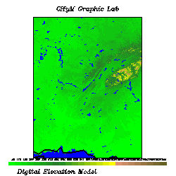 The Digital Elevation Model |
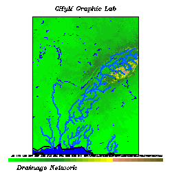 The drainage network |
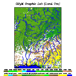 The landuse map |
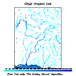 The Flow Check |
