The AdriaMORE approach is finalized to:
- reinforcing the existing monitoring system;
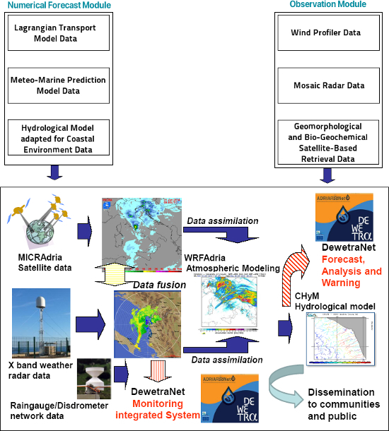
- fostering and integrating the maritime environmental data in a coherent way with the hydrometeorological information;
- improving the hydro-meteo-marine risk forecast capabilities;
- assess the impact of coastal flood on geomorphological and biogeochemical parameters and coastal environment.
To this end the following specif objectives are planned:
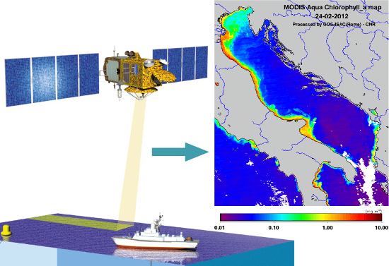
- Satellite monitoring and assessment of those parameters, such as suspended terrigenous material and chlorophyll concentration (as a proxy of phytoplankton biomass), that may mark desirable/undesirable effects on the coastal ecosystem to human pressures.
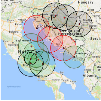
- Improve the effectiveness of radar measurements by means of the creation of rain composite and by utilizing data provided by Italian and Croatian radar network.
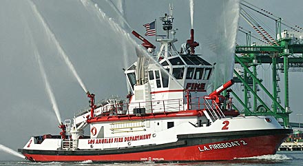
- Procurement of the firefighting boat which will be used mainly for firefighting actions at the sea and coastal area near Dubrovnik. The boat can be used in combination with some outputs of meteorological model WRF that allows users to model the growth of a wildland fire in response to environmental conditions.
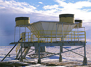
- Installation of one wind profiler in the Dubrovnik area for nearly continuously updated vertical profiles of wind to improve wind monitoring and forecast.
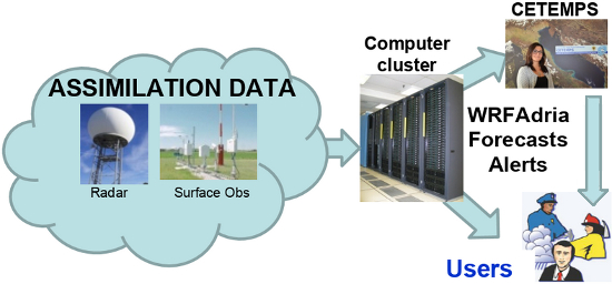
- Improve the high resolution forecast model WRF by both testing and tuning the Planetary Boundary Layer parameterization using radar and wind profiler data for assimilation.
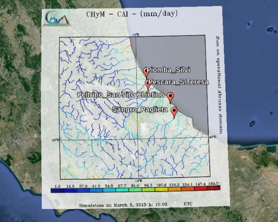
- Adapt the hydrological model for coastal flooding forecast prevention taking into account the “barrier” effect of the sea in the vicinity of rivers’ outlets.
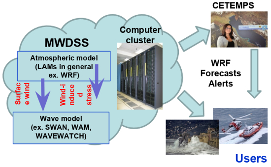
- Implementation of a numerical meteo-marine prediction model able to forecast the main marine fields down to a spatial resolution of few kilometers and able to ingest local and remote sensing measurements.
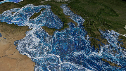
- Implementation of a modelling framework for Eulerian and Lagrangian simulations in coastal areas and open sea, evaluation of transport and dispersion processes relevant to the marine bio-physical environment.
- Reinforcing of the monitoring and forecast system within the existing DSS (Decision Support System) by the integration of coastal remote sensing data as well as models data.
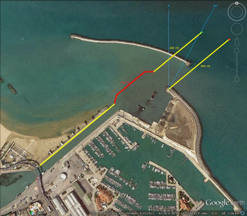
- Testing the AdriaMORE new tools by means two pilot actions: one around the estuary of the Pescara river in Abruzzo Region (Italy)
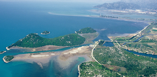
 and another around the estuary of the Neretva river in Neretva-Dubrovnik region (Croatia).
- Wider dissemination of the activities and results achieved by involving the key stakeholders and broad public.

