Via Vetoio
Coppito
AQ

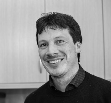
Luca Brocca (CNR-IRPI): “Playing the water cycle game: data from space for flood risk mitigation and better managing water resources.”
Abstract
Climate change is profoundly affecting the global water cycle, increasing the likelihood and severity of extreme water-related events. Droughts are becoming more frequent and intense. Extreme precipitation events are more localised and of unprecedented magnitude, causing widespread flooding and severe impacts on our lives and assets.
Accurately predicting and monitoring water-related environmental disasters, as well as optimal water resource management, require better decision support systems. These systems should integrate remote sensing, in-situ and citizen observations with high-resolution Earth system modelling, artificial intelligence, information and communication technologies, and high-performance computing.
Within the Digital Twin Earth for Hydrology and the Open Earth Monitor Cyberinfrastructure projects, we have developed advanced interactive tools for building what-if scenarios for flood risk assessment, drought monitoring and water resources management. These tools exploit advanced modelling and high-resolution satellite observations for soil moisture, precipitation, snow and evaporation and benefit also from in situ observations. The in-situ soil moisture network settled up in the Abruzzo region offer an important opportunity to implement similar systems in the region.
The seminar will describe the developed tools (current version here: https://explorer.dte-hydro.adamplatform.eu/) and the more recent advances. An interactive presentation will be held to assess together with the audience the potential and limitations of the developed tools and applications.
Short BIO
Luca Brocca received the Master’s degree and the PhD in Civil Engineering in 2003 and 2008 respectively. Since (2009) 2019 he is (Researcher) Director of Research at the National Research Council, Research Institute for Geo-Hydrological Protection of (CNR-IRPI) in Perugia. He is author and co-author of 200+ journal refereed papers (17000+ citations), 80+ papers in peer-reviewed conference proceedings/book chapters, and 10+ regional and global datasets.
Luca Brocca is involved as PI (and co-PI) in several projects funded by the European Commission and Space Agencies (ESA, EUMETSAT).
Among others, in 2012, he received the “Early Career Research Excellence” award by iEMSs society, in 2018 he has been the winner of the Copernicus Masters competition “BayWa Smart Farming Challenge”, in 2019 and 2020 he has been nominated “Highly Cited
Researchers” by Web of Science Group – Clarivate, and in 2021 he won the “ESA–EGU Earth Observation Excellence Award”.
The main research interest of Luca Brocca lies in the development of innovative methods for exploiting satellite observations (soil moisture, rainfall, river discharge) for hydrological applications including floods, landslides, rainfall, droughts, irrigation, water resources management (e.g., SM2RAIN, irrigation from space). More detailed information can be found at: http://hydrology.irpi.cnr.it/people/luca-brocca/

